Ruminations From the Western Slope

Ruminations From the Western Slope
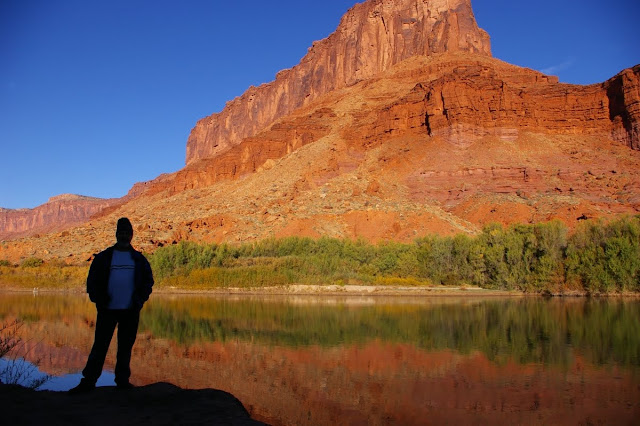
Colorado River near Moab, Utah
Showing posts with label vacation. Show all posts

Tuesday, March 22, 2011

To Tucson & Back in Ten Paragraphs or Less


Spring Breakathon, as my daughter calls it. We lit out for the open road on Friday, headed for our ultimate destination….Tucson, Arizona. That first day took us through some mighty fine canyon country from the Colorado/Utah border where we watched pronghorns grazing in open grasslands to the southeast corner of Utah and a comfy room at the Recapture Lodge in Bluff. Along the way we drove along the Colorado River through Professor Valley, took a detour up Kane Creek Road to view petroglyphs in Moonflower Canyon, and stopped for a while to check out one of the most enduring roadside attractions…Hole In the Rock, just south of Moab.

Bluff, Utah is a curious amalgam of old Mormon stock, artists, river runners, native americans, and other assorted desert rats. In recent years it’s taken on an almost-hip aura, perhaps the only Utah town to do so. Once we settled into our little room, Lindsay and I took a walk to the banks of the ol’ San Juan River, enjoying the warm sun and solitude. Later that evening we dined at the Twin Rocks Restaurant, about the only place open for business.

However, the next morning we were fortunate enough to be able to have breakfast at Comb Ridge Coffee on the south end of town. Funky, friendly and freewheeling, the Comb Ridge is full of good vibes, old books, neat art and sculpture and, of course, the best coffee in town. Andrea, the proprietress, has a real jones for actor James Mason and his picture graces several parts of the establishment. We shared some blue corn pancakes with Leo, a retired doctor from North Carolina who spends one month a year ministering to the Navajos near Tuba City. He was on an exploring junket for the weekend so we shared some choice spots.

The remainder of the day was spent driving across the Reservation, having lunch and checking out the tacky souvenirs at Cameron, then heading into the Grand Canyon from the east through Desert View. Lipan Point was appropriately silent and spacious, but Grandview Point was full of the typical tourists running amok on the rim’s edge and overwhelming any sense of peace or place. But we met up with our friend Palma in short order and she put us up for the evening at her place on the South Rim and graciously took us to dinner at the El Tovar. We were definitely not in Colorado anymore!

In the morning I took a short drive to the Grand Canyon Village where I had to park illegally in order to get out to a view of the canyon itself. I was disappointed at the poor air quality and quickly headed back to the house. We parted ways with Palma and decided to drive all the way to Tucson without getting on the interstate. We accomplished this by heading for Mormon Lake, just outside of Flagstaff, then climbing up the Mogollon Rim to Payson and Rye, then onward to Roosevelt Lake, Tonto National Monument, and Globe where we got temporarily lost. Eventually we found the road that drops down through Dudleyville and Winkelmann to Oracle and Sue and Jack’s house at the base of the Catalina Mountains. The entire drive took seven hours.

The next four days were spent reveling in the warmth of the Sonoran Desert , if not the glorious spring colors. This has been a dry year in southern Arizona and the plants look pretty stressed. Hardly a wildflower in sight anywhere. But we enjoyed a day at the Arizona-Sonoran Desert Museum, another day hiking in Catalina State Park with my cousin Irene, another day hanging out in Old Tucson and going through the Art Museum, and the final, fantastic day walking around Sabino Canyon. Even with all the tourists (like us) running around, it was easy to find secluded places to wade in desert pools while looking up at sere hillsides bedecked in saguaros.

All too soon it was time to head back home. We made a brief stop at Pinnacle Peak near Scottsdale, then drove to Flagstaff under increasingly cloudy skies. The next day drove all the way home through dust storms and buffeting winds in Monument Valley, and around the hazy Abajos and La Sal Mountains. When I turned onto Highway 128, the River Road, just north of Moab, I felt like I was practically at my driveway.

And now it’s back to long pants and pullover shirts again as the winter still hangs on a bit in Grand Junction, but the memories of basking on boulders in Sabino Canyon and sitting by the San Juan River in Bluff will last well into the warm season. Spring Breakathon is over but Spring Equinox has arrived.

Wednesday, June 16, 2010

The New Mexico of Memory

When we crossed into New Mexico from Colorado two weeks ago, I swear that the sky suddenly changed, taking on a clarity and depth not found anywhere else. We journeyed over rolling high hills dotted with pines, took in little towns like Tierra Amarilla and Los Ojos, photographed crumbling adobes, and stopped at roadside churches. And all the while there was that deep blue sky overhead. It stayed with us as we descended from Chama into the badlands around Ghost Ranch where we camped for the night in a nearly deserted campground, surrounded by pinyon and juniper and Georgia O’Keefe’s colorful cliffs.

We lived in Albuquerque in the late 90s while I rangered away at Petroglyph National Monument, one of those politically created parks that should have been given to the city to manage instead of the Department of Interior. By the time I got there in 1994, the burgeoning tract homes had already been built right up to the volcanic escarpment on which most of the petroglyphs had been carved. There were literally petroglyphs in peoples’ backyards. The City of Albuquerque hated the park because it was an impediment to further development. Later political machinations by Sen. Domenici allowed a corridor to be removed from the park boundary and made available for a four-lane highway in order to facilitate development on the west mesa.

As a result, these “sacred images” carved in stone now look down upon strip malls, neighborhoods, and gridlocked traffic. There are few places where one can experience the actual context in which these images were made. To add insult to injury, in 1997 a new superintendent took over the reins of the monument and immediately alienated the entire park staff. A woman with a chip on her shoulder and a hatred of white males. Despite our pleas to upper management over the next couple of years, little was done to curb the lying, deception and abuse. I saw the writing on the wall and got out at the end of 1998. Leaving New Mexico was one of the hardest things we ever did.

And that superintendent......She eventually got caught using her government credit card to pay off gambling debts and was removed and demoted (anyone else would have been fired). I went on to bigger and better things with the Bureau of Land Management at Red Rock Canyon in Nevada.

But being back in New Mexico again two weeks ago was still a bit of heaven. We gorged ourselves on cultural and tourist sites in Albuquerque, attended a festival in Santa Fe, and ate lots of green chili. We took the High Road to Taos through little towns like Nambe, Chimayo, Truchas and Las Trampas....towns that have changed little over the years and still reflect the rural Hispanic culture when you look between the art galleries and get off of the beaten path.

So maybe the sky really didn’t change at the Colorado/New Mexico border but my emotions certainly did. We were back in a place we had called home. The place where we honeymooned. The place where our daughter was born. A place that is truly the Land of Enchantment.

Tuesday, March 9, 2010

INTO THE MILD, PART 1


Last fall when I decided to develop a coping strategy to get me through the winter doldrums, I had no idea that I would be subjected to the seventh coldest winter in the history of the western slope. It began with a record-breaking snowfall on December 7 (a day that will live in weather infamy), followed by a brutal cold snap for ten more weeks and a stubborn inversion layer that stayed firmly ensconced in the Grand Valley.

What was my coping strategy, you might ask? In a nutshell, it was trip planning. I was determined to break away from winter’s grip in the early spring and head for the deserts of southern California. That involved a bit of research, lots of reading, and best of all, a chance to look longingly at lots of sunny photographs of dry, open terrain. I pored over all those evocative names like the Calico Mountains, Kelso Dunes, the Antelope Valley. And I charted out a course that would take me to places such as Valley of Fire, Afton Canyon, Saddleback Butte, the Carrizo Plain and, last but not least, Death Valley.

The colder it got outside, the more I perused my map collection inside. I read The California Deserts by Bruce M. Pavlik all the way through, and I looked back at my collection of desert slides and photographs. And, I must say, it did help a bit though I could never have anticipated how deeply this winter would hang in there.

Another important aspect of the journey for me is the fact that I am traveling solo. A chance to catch up on quiet time, be more reflective, and to concentrate on my art.....my photography. As I get older, it seems more important to be able to still be independent, camping out with just the basics, keeping a loose agenda, and seeing just where my comfort zone has moved to over the years. So I hope to challenge myself just a bit.

So here I am on the brink of departure. Yesterday it snowed here. Rain is expected through Thursday. I hit the road on Saturday. Through it all, I hope to write about the enlightening moments, and to photograph the sublime scenery of the southern deserts. So stay tuned.